Thakarpada (census code 551539)
| Thakarpada | |
|---|---|
| village | |
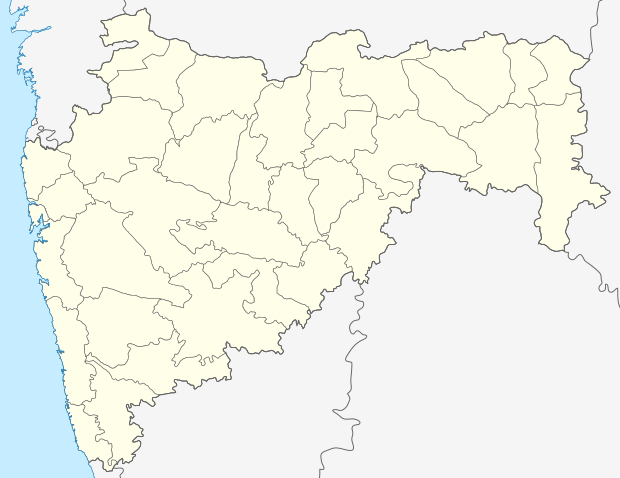 Thakarpada  Thakarpada Location in Maharashtra, India | |
| Coordinates: 20°11′35″N 72°51′53″E / 20.1931264°N 72.8648404°ECoordinates: 20°11′35″N 72°51′53″E / 20.1931264°N 72.8648404°E | |
| Country | India |
| State | Maharashtra |
| District | Palghar |
| Taluka | Talasari |
| Elevation | 32 m (105 ft) |
| Population (2011) | |
| • Total | 1,278 |
| Time zone | IST (UTC+5:30) |
| 2011 census code | 551539 |
Thakarpada is a village in the Palghar district of Maharashtra, India. It is located in the Talasari taluka.[1] It lies close to the National Highway 8; the nearest railway station is in Sanjan, Gujarat.
Demographics
According to the 2011 census of India, Thakarpada has 218 households. The effective literacy rate (i.e. the literacy rate of population excluding children aged 6 and below) is 55.85%.[2]
| Total | Male | Female | |
|---|---|---|---|
| Population | 1278 | 620 | 658 |
| Children aged below 6 years | 227 | 108 | 119 |
| Scheduled caste | 1 | 1 | 0 |
| Scheduled tribe | 1275 | 618 | 657 |
| Literates | 587 | 364 | 223 |
| Workers (all) | 541 | 335 | 206 |
| Main workers (total) | 177 | 152 | 25 |
| Main workers: Cultivators | 24 | 21 | 3 |
| Main workers: Agricultural labourers | 66 | 63 | 3 |
| Main workers: Household industry workers | 5 | 3 | 2 |
| Main workers: Other | 82 | 65 | 17 |
| Marginal workers (total) | 364 | 183 | 181 |
| Marginal workers: Cultivators | 254 | 127 | 127 |
| Marginal workers: Agricultural labourers | 11 | 4 | 7 |
| Marginal workers: Household industry workers | 8 | 3 | 5 |
| Marginal workers: Others | 91 | 49 | 42 |
| Non-workers | 737 | 285 | 452 |
References
- ↑ "Maharashtra villages" (PDF). Land Records Information Systems Division, NIC. Retrieved 2015-08-17.
- 1 2 "District census data". 2011 Census of India. Directorate of Census Operations. Retrieved 2015-08-17.
This article is issued from Wikipedia - version of the 8/24/2016. The text is available under the Creative Commons Attribution/Share Alike but additional terms may apply for the media files.