Titkuri
| Titkuri | |
|---|---|
| Village | |
  Titkuri 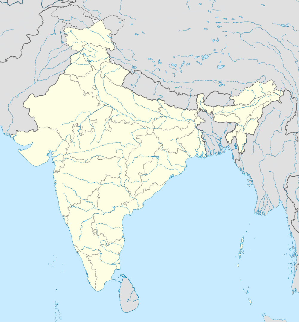  Titkuri Location in Assam, India | |
| Coordinates: 26°28′N 91°43′E / 26.46°N 91.71°ECoordinates: 26°28′N 91°43′E / 26.46°N 91.71°E | |
| Country |
 India India |
| State | Assam |
| Region | Western Assam |
| District | Kamrup |
| Government | |
| • Body | Gram panchayat |
| Elevation | 42 m (138 ft) |
| Languages | |
| • Official | Assamese |
| Time zone | IST (UTC+5:30) |
| PIN | 781354 |
| ISO 3166 code | IN-AS |
| Vehicle registration | AS |
| Website |
kamrup |
Titkuri is a village in Kamrup rural district, situated in north bank of river Brahmaputra, surrounded by Udiana, Goreswar and Baihata[1]
Transport
The village is located north of National Highway 31, connected to nearby towns and cities with regular buses and other modes of transportation.
See also
References
This article is issued from Wikipedia - version of the 10/21/2016. The text is available under the Creative Commons Attribution/Share Alike but additional terms may apply for the media files.