Tuffalun
| Tuffalun | |
|---|---|
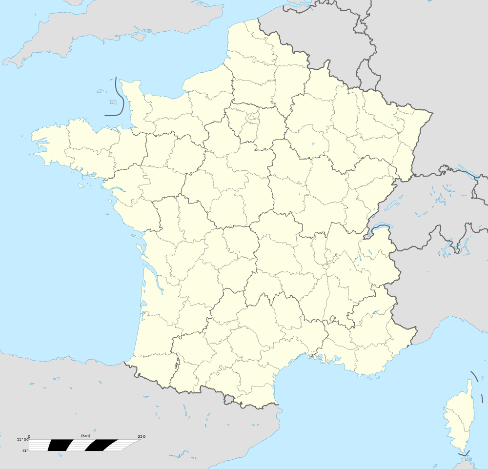  Tuffalun | |
|
Location within Pays de la Loire region 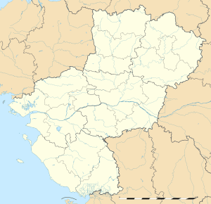 Tuffalun | |
| Coordinates: 47°15′43″N 0°20′38″W / 47.262°N 0.344°WCoordinates: 47°15′43″N 0°20′38″W / 47.262°N 0.344°W | |
| Country | France |
| Region | Pays de la Loire |
| Department | Maine-et-Loire |
| Arrondissement | Saumur |
| Canton | Doué-la-Fontaine |
| Area1 | 39.42 km2 (15.22 sq mi) |
| Population (2013)2 | 1,778 |
| • Density | 45/km2 (120/sq mi) |
| Time zone | CET (UTC+1) |
| • Summer (DST) | CEST (UTC+2) |
| INSEE/Postal code | 49003 / 49700 |
|
1 French Land Register data, which excludes lakes, ponds, glaciers > 1 km² (0.386 sq mi or 247 acres) and river estuaries. 2 Population without double counting: residents of multiple communes (e.g., students and military personnel) only counted once. | |
Tuffalun is a commune in the Maine-et-Loire department of western France. The municipality was established on 1 January 2016 and consists of the former communes of Ambillou-Château, Louerre and Noyant-la-Plaine.[1]
Population
The population of each separate commune prior to the merge in 2016 were:
Ambillou-Château - 951 (2011)
Louerre - 382 (2006)
Noyant-la-Plaine - 268 (2006)
Name
(Contains an opinion expressed by residents)
Tuffalun is a silly name and no one knows where it comes from. Thurthermore, the residents of the commune have no idea where it came from.
References
- ↑ Arrêté préfectoral 17 December 2015 (French)
See also

This article is issued from Wikipedia - version of the 2/14/2016. The text is available under the Creative Commons Attribution/Share Alike but additional terms may apply for the media files.