Wanakuni (Sud Yungas)
This article is about the mountain in the Sud Yungas Province, La Paz Department, Bolivia. For other uses, see Wanakuni (disambiguation).
| Wanakuni | |
|---|---|
 Wanakuni | |
| Highest point | |
| Elevation | 4,944 m (16,220 ft) [1] |
| Coordinates | 16°27′47″S 67°52′20″W / 16.46306°S 67.87222°WCoordinates: 16°27′47″S 67°52′20″W / 16.46306°S 67.87222°W |
| Geography | |
| Location |
Bolivia La Paz Department |
| Parent range | Andes, Cordillera Real |
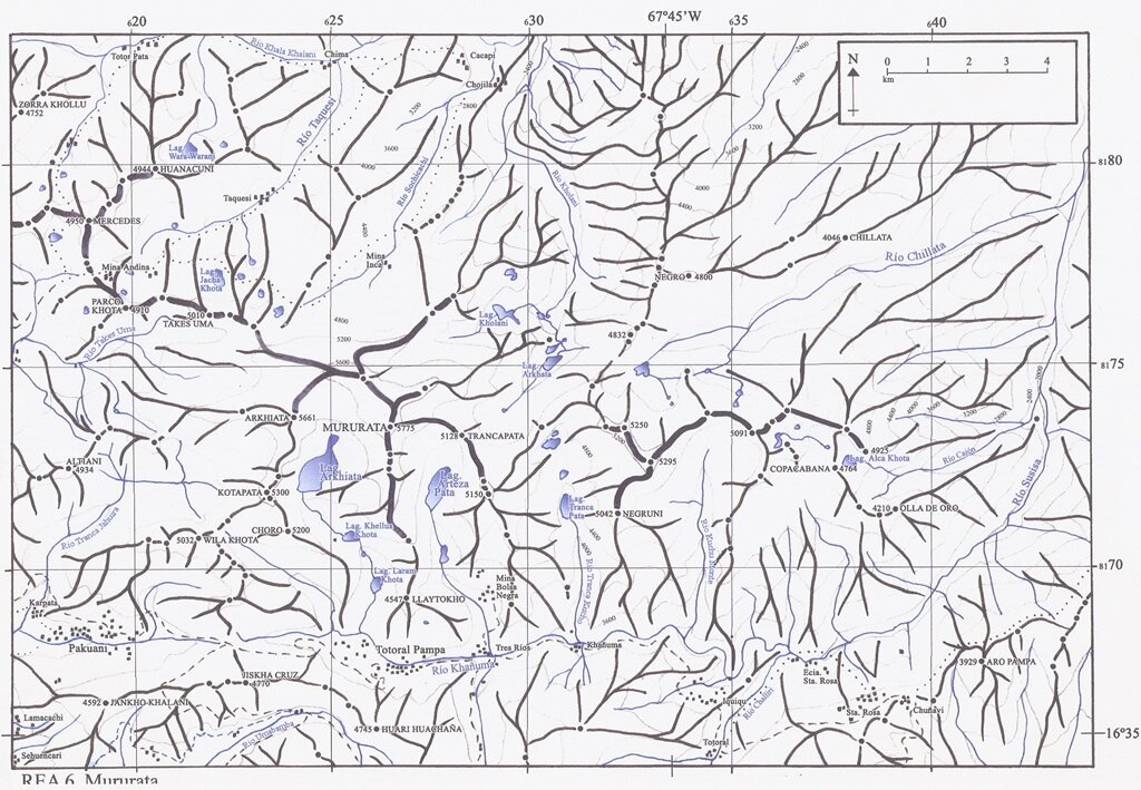
Wanakuni (Aymara wanaku, wanaqu,[2] -ni a suffix to indicate ownership, "the one with the guanaco", hispanicized spelling Huanacuni) is a 4,944 metres (16,220 ft) high mountain in the Cordillera Real in the Bolivian Andes. It is situated in the La Paz Department, Sud Yungas Province, Yanacachi Municipality, northeast of the city of La Paz. Wanakuni lies at a lake named Warawarani, southeast of Sura Qullu.[1][3]
References
- 1 2 "Cordillera Real". huayna-potosi.com. Retrieved August 25, 2014.
- ↑ Radio San Gabriel, "Instituto Radiofonico de Promoción Aymara" (IRPA) 1993, Republicado por Instituto de las Lenguas y Literaturas Andinas-Amazónicas (ILLLA-A) 2011, Transcripción del Vocabulario de la Lengua Aymara, P. Ludovico Bertonio 1612 (Spanish-Aymara-Aymara-Spanish dictionary)
- ↑ "Yanacachi". INE, Bolivia. Retrieved August 25, 2014. (unnamed)
This article is issued from Wikipedia - version of the 12/7/2015. The text is available under the Creative Commons Attribution/Share Alike but additional terms may apply for the media files.