Woolpack Corner
Coordinates: 51°06′N 0°38′E / 51.10°N 00.64°E
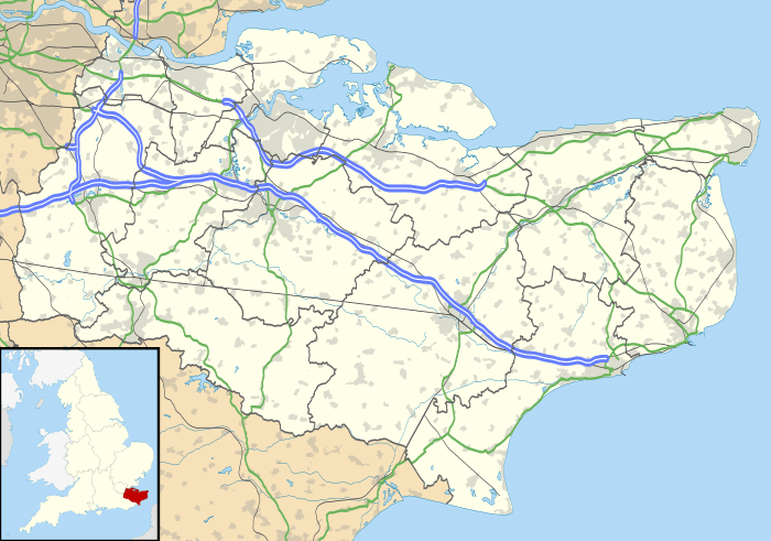
Woolpack Corner is a hamlet in the parish of Biddenden, Kent, England.
 |
Frittenden | Headcorn Biddenden |
Smarden |  |
| Sissinghurst | |
High Halden | ||
| ||||
| | ||||
| Benenden | Rolvenden | St Michaels |
This article is issued from Wikipedia - version of the 1/23/2016. The text is available under the Creative Commons Attribution/Share Alike but additional terms may apply for the media files.
