Zilkale
| Zilkale | |
|---|---|
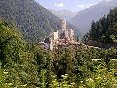 Ramparts of Zilkale | |
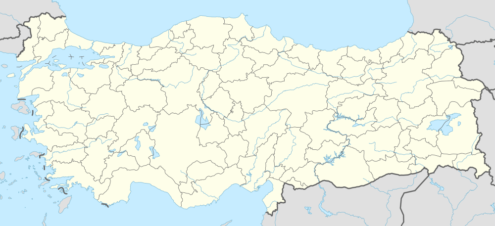  Location of Zilkale | |
| General information | |
| Type | Castle |
| Location | Fırtına Valley |
| Town or city | Çamlıhemşin, Rize Province |
| Country | Turkey |
| Coordinates | 40°55′42″N 40°57′17″E / 40.92830°N 40.95463°E |
| Elevation | 1,130 m (3,710 ft) |
| Completed | 14th-15th century |
Zilkale is a medieval castle located in the Fırtına Valley (literally: "Stormy Valley"), and is one of the most important historical structures in Çamlıhemşin district of Rize Province in the Black Sea Region of Turkey.[1]
The castle is built at an altitude of 1,130 m (3,710 ft), and sits at the edge of a cliff overlooking the Fırtına Creek (Turkish: Fırtına Deresi approximately 380 m (1,250 ft) below running at an elevation of 750 m (2,460 ft) southeast of it. The castle consists of outer walls, middle walls and inner castle.[2] There are garrison quarters, and a possible chapel[3] and head tower. It is believed that the castle was built in the 14th-15th century.
Etymology
Zilkale: Turkish zil for "bell" and (Turkish) kale for "castle".[4]
Alternatively:
Zilkale: Persian zir "lower" and (Turkish) kale for "castle".[5]
Notes
- ↑ Özhan Öztürk. Karadeniz. Istanbul. 2005 pp. 1209-10
- ↑ It was built on the western skirts of Fırtına Creek, 15 km (9.3 mi) south of the torn center
- ↑ According to Anthony Bryer, it is an Armenian chapel and built for Empire of Trebizond for local Lord of Hamshenis, Arhakel. BRYER A. & WINFIELD D. (1985), Byzantine Monuments and Topography of the Pontos. Dumbarton Oaks Centre Studies. 2 vol. Washington p. 348
- ↑ BRYER A. & WINFIELD D. (1985), Byzantine Monuments and Topography of the Pontos. Dumbarton Oaks Center Studies. 2 vol. Washington.
- ↑ Öztürk, Ö. Karadeniz. p. 1210