Acala, Texas
| Acala, Texas | |
|---|---|
| Ghost Town | |
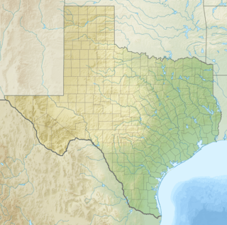  Acala, Texas Location within Texas | |
| Coordinates: 31°20′02″N 105°54′52″W / 31.33389°N 105.91444°WCoordinates: 31°20′02″N 105°54′52″W / 31.33389°N 105.91444°W | |
| Country | United States |
| State | Texas |
| County | Hudspeth |
| Elevation | 3,553 ft (1,083 m) |
| Time zone | Central (CST) (UTC-6) |
| • Summer (DST) | CDT (UTC-5) |
| ZIP codes | 79839 |
| Area code | 915 |
| GNIS feature ID | 1379310 |
Acala, Texas is a ghost town in Hudspeth County, Texas, thirty-four miles northwest of Sierra Blanca and fifty-four miles southeast of El Paso, with a current population of about 25.[1] Acala is located on Highway 20. Acala was named for Acala cotton. a type of cotton produced in Mexico.[2]
History
The area was settled in the early 20th century, when a post office was established before 1925.[3] In 1929, the population had doubled to a hundred from its fifty residents just a couple of years before. It peaked again in the late '50s, at one hundred people, but began to fall, once again. Only twenty-five people called Acala home by the 1970s. Since then it has remained at that size.
References
- ↑ Acala at TexasEscapes
- ↑ Bright, William (11 March 2013). Native American Placenames of the Southwest: A Handbook for Travelers. University of Oklahoma Press. p. 27. ISBN 978-0-8061-8916-1.
- ↑ Kohout, Martin Donell. "Acala, Texas". Handbook of Texas Online. Texas State Historical Association.
Municipalities and communities of Hudspeth County, Texas, United States | ||
|---|---|---|
| City | 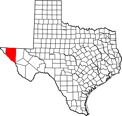 | |
| CDPs | ||
| Unincorporated communities | ||
| Ghost towns | ||
This article is issued from Wikipedia - version of the 11/2/2016. The text is available under the Creative Commons Attribution/Share Alike but additional terms may apply for the media files.