Adamston, New Jersey
| Adamston, New Jersey | |
|---|---|
| Unincorporated community | |
 | |
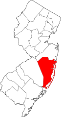
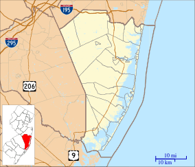 Adamston, New Jersey 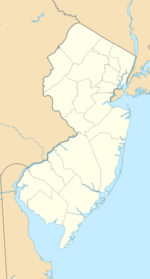 Adamston, New Jersey  Adamston, New Jersey Adamston's location in Ocean County (Inset: Ocean County in New Jersey) | |
| Coordinates: 40°02′43″N 74°05′42″W / 40.04528°N 74.09500°WCoordinates: 40°02′43″N 74°05′42″W / 40.04528°N 74.09500°W | |
| Country |
|
| State |
|
| County | Ocean |
| Township | Brick |
| Elevation | 3 m (10 ft) |
| Time zone | Eastern (EST) (UTC-5) |
| • Summer (DST) | EDT (UTC-4) |
| Area code(s) | 732/848 |
| GNIS feature ID | 874258[1] |
Adamston is an unincorporated community located within Brick Township, Ocean County, New Jersey, United States.[2] County Route 528 travels through Adamston, leading to neighboring Mantoloking to the east, on the Jersey Shore. The area is otherwise mostly made up of small bungalows spread along numerous residential roads in Adamston.[3]
References
- ↑ U.S. Geological Survey Geographic Names Information System: Adamston, New Jersey
- ↑ Locality Search, State of New Jersey. Accessed June 9, 2016.
- ↑ Google (August 31, 2016). "Aerial view of Adamston" (Map). Google Maps. Google. Retrieved August 31, 2016.
This article is issued from Wikipedia - version of the 9/1/2016. The text is available under the Creative Commons Attribution/Share Alike but additional terms may apply for the media files.