Antella
For the fungus genus, see Antella (fungus).
| Antella | ||
|---|---|---|
| Municipality | ||
| ||
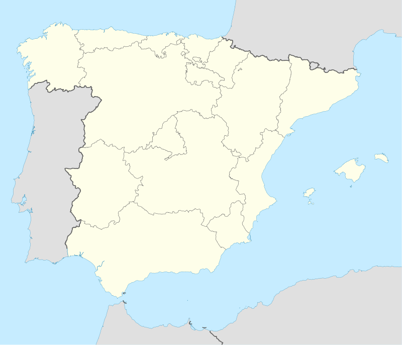  Antella Location in Spain | ||
| Coordinates: 39°4′58″N 0°35′26″W / 39.08278°N 0.59056°WCoordinates: 39°4′58″N 0°35′26″W / 39.08278°N 0.59056°W | ||
| Country |
 Spain Spain | |
| Autonomous community |
.svg.png) Valencian Community Valencian Community | |
| Province | Valencia | |
| Comarca | Ribera Alta | |
| Judicial district | Alzira | |
| Founded | 1250 | |
| Government | ||
| • Alcalde | María Isabel Giménez Candel | |
| Area | ||
| • Total | 17.6 km2 (6.8 sq mi) | |
| Elevation | 44 m (144 ft) | |
| Population (2008) | ||
| • Total | 1,549 | |
| • Density | 88/km2 (230/sq mi) | |
| Demonym(s) | Antellà, antellana | |
| Time zone | CET (UTC+1) | |
| • Summer (DST) | CEST (UTC+2) | |
| Postal code | 46266 | |
| Official language(s) | Valencian | |
| Website | Official website | |
Antella is a municipality in the comarca of Ribera Alta in the Valencian Community, Spain. It is also a fraction of Bagno a Ripoli, province of Florence in Italy.
This article is issued from Wikipedia - version of the 10/31/2016. The text is available under the Creative Commons Attribution/Share Alike but additional terms may apply for the media files.