Atlee, Virginia
| Atlee, Virginia | |
|---|---|
| Unincorporated community | |
  Atlee, Virginia 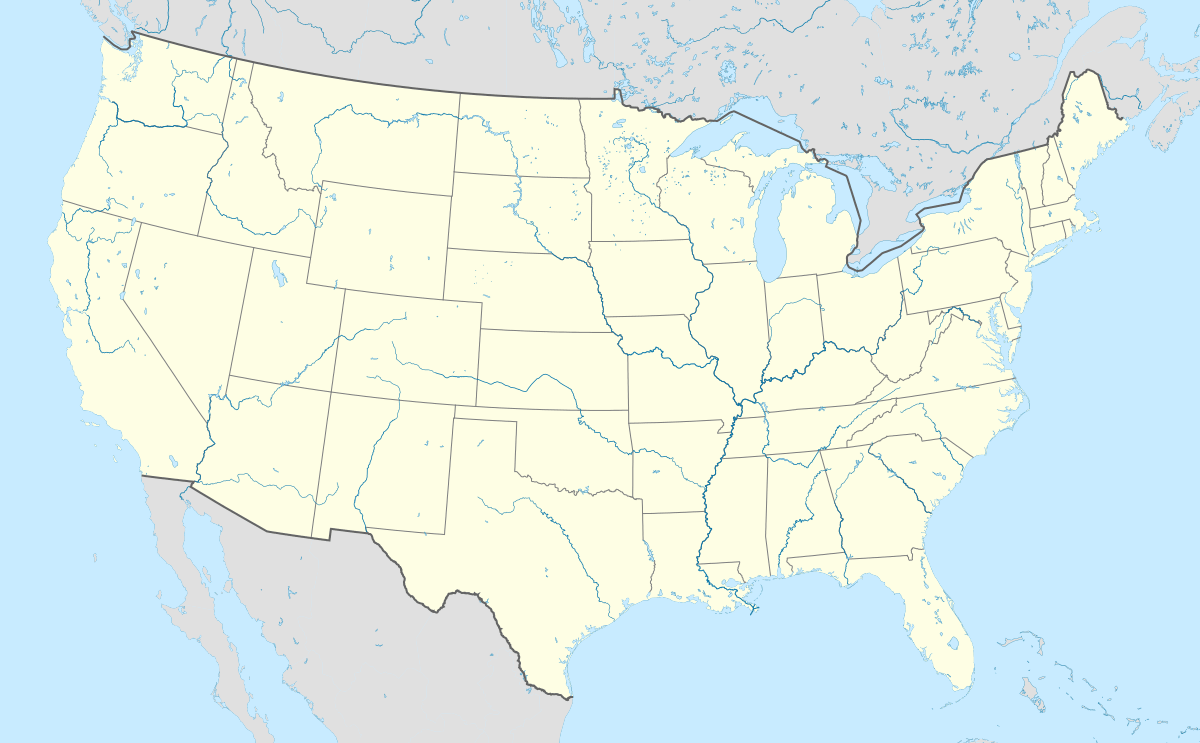 Atlee, Virginia | |
| Coordinates: 37°39′28″N 77°24′25″W / 37.65778°N 77.40694°WCoordinates: 37°39′28″N 77°24′25″W / 37.65778°N 77.40694°W | |
| Country | United States |
| State | Virginia |
| County | Hanover |
| Elevation | 194 ft (59 m) |
| Time zone | Eastern (EST) (UTC-5) |
| • Summer (DST) | EDT (UTC-4) |
| GNIS feature ID | 1499069[1] |
Atlee (also Atlees Station) is an unincorporated community in Hanover County, Virginia, United States.[1] Atlee is located 8 miles (13 km) north of Richmond on Route 637 approximately .6 miles (0.97 km) north-northwest of the intersection of Route 637 and Virginia State Route 2.[2] During the American Civil War, the Virginia Central Railroad's track was torn up by Union cavalry between the station at Atlee and the station at Hanover.[3] At one point during the war, Fitzhugh Lee's Confederate cavalry was concentrated at Atlee.[4]
References
- 1 2 "Atlee". Geographic Names Information System. United States Geological Survey.
- ↑ Google (August 18, 2013). "Atlee, Virginia" (Map). Google Maps. Google. Retrieved August 18, 2013.
- ↑ Bocian, Meredith; Salmon, John (2012). "The Virginia Central Railroad During the Civil War". Encyclopedia Virginia. Ed. Brendan Wolfe. Virginia Foundation for the Humanities. Retrieved August 18, 2013.
- ↑ Longacre, Edward G. (2005). Fitz Lee: A Military Biography of Major General Fitzhugh Lee, C.S.A. Da Capo Press. p. 68. ISBN 9780306813849. Retrieved August 18, 2013.
Municipalities and communities of Hanover County, Virginia, United States | ||
|---|---|---|
| Town | 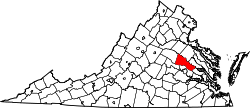 | |
| CDPs | ||
| Unincorporated communities | ||
This article is issued from Wikipedia - version of the 11/14/2016. The text is available under the Creative Commons Attribution/Share Alike but additional terms may apply for the media files.