Bruschghorn
| Bruschghorn | |
|---|---|
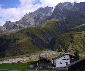 View from Turrahuus (west side) | |
| Highest point | |
| Elevation | 3,056 m (10,026 ft) |
| Prominence | 577 m (1,893 ft) [1] |
| Isolation | 13.8 km (8.6 mi) [2] |
| Parent peak | Rheinwaldhorn |
| Coordinates | 46°37′52″N 9°18′23.8″E / 46.63111°N 9.306611°ECoordinates: 46°37′52″N 9°18′23.8″E / 46.63111°N 9.306611°E |
| Geography | |
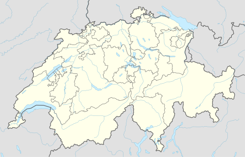 Bruschghorn Location in Switzerland | |
| Location | Graubünden, Switzerland |
| Parent range | Lepontine Alps |
The Bruschghorn is a mountain of the Lepontine Alps, overlooking Thalkirch (Safien) in the Swiss canton of Graubünden. With a height of 3,056 metres above sea level, the Bruschghorn is the culminating point of the range lying between the Safiental and the Domleschg valley.
See also
References
- ↑ Retrieved from the Swisstopo topographic maps. The key col is the Wenglilücke (2,479 m).
- ↑ Retrieved from Google Earth. The nearest point of higher elevation is east of Piz Aul.
External links
This article is issued from Wikipedia - version of the 5/8/2016. The text is available under the Creative Commons Attribution/Share Alike but additional terms may apply for the media files.
