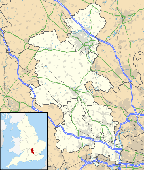
Burcott, Bierton, Buckinghamshire
Coordinates: 51°49′44″N 0°46′43″W / 51.828980°N 0.778479°W
Burcott is a hamlet in the parish of Bierton with Broughton, Buckinghamshire, England.[1][2]
Its name is a common one in England, and refers to a fortified cottage. This is probably the stronghold referred to in the place name of Bierton. Adversely Bierton is now the larger place while Burcott has hardly grown at all.
Today the hamlet has been completely swallowed up by the growth of Bierton village, though it is still marked on modern maps. The playing field on which stands Bierton scout hut marks the boundary between the village and the hamlet.
References
- ↑ Ordnance Survey: Landranger map sheet 165 Aylesbury & Leighton Buzzard (Thame & Berkhamsted) (Map). Ordnance Survey. 2012. ISBN 9780319229163.
- ↑ "Ordnance Survey: 1:50,000 Scale Gazetteer" (csv (download)). www.ordnancesurvey.co.uk. Ordnance Survey. 1 January 2016. Retrieved 30 January 2016.
This article is issued from Wikipedia - version of the 2/3/2016. The text is available under the Creative Commons Attribution/Share Alike but additional terms may apply for the media files.

