Capiro Calentura National Park
| Capiro Calentura National Park | |
|---|---|
|
IUCN category II (national park) | |
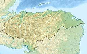 Location of Capiro Calentura in Honduras | |
| Location | Honduras |
| Coordinates | 15°52′38″N 85°56′06″W / 15.87722°N 85.93500°WCoordinates: 15°52′38″N 85°56′06″W / 15.87722°N 85.93500°W[1] |
| Area | 50 km2 (19 sq mi)[1] |
| Established | 1 January 1992[1] |
Capiro Calentura National Park is a national park in Honduras. It was established on 1 January 1992 and covers an area of 50 square kilometres.[1]
References
- 1 2 3 4 "Honduras - Capiro Calentura". United Nations Environment Programme. Retrieved 1 March 2010.
This article is issued from Wikipedia - version of the 11/19/2016. The text is available under the Creative Commons Attribution/Share Alike but additional terms may apply for the media files.
