Chari Tarf Kotebi
| Chari Tarf Kotebi | |
|---|---|
| village | |
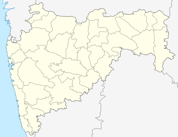 Chari Tarf Kotebi 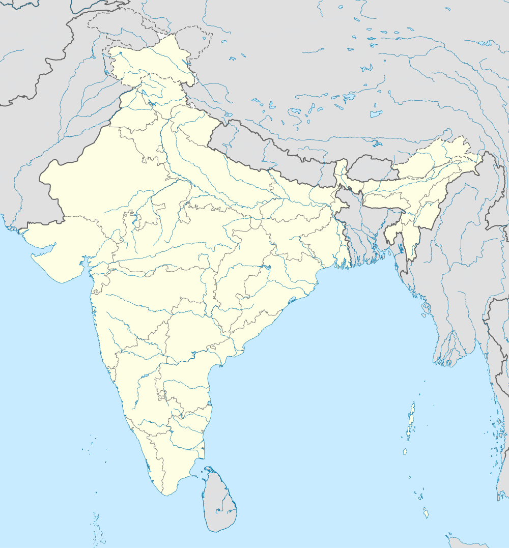 Chari Tarf Kotebi Location in Maharashtra, India | |
| Coordinates: 19°56′55″N 72°47′43″E / 19.9486455°N 72.7954159°ECoordinates: 19°56′55″N 72°47′43″E / 19.9486455°N 72.7954159°E | |
| Country | India |
| State | Maharashtra |
| District | Palghar |
| Taluka | Dahanu |
| Elevation | 18 m (59 ft) |
| Population (2011) | |
| • Total | 1,927 |
| Time zone | IST (UTC+5:30) |
| 2011 census code | 551612 |
Chari Tarf Kotebi is a village in the Palghar district of Maharashtra, India. It is located in the Dahanu taluka.[1]
Demographics
According to the 2011 census of India, Chari Tarf Kotebi has 387 households. The effective literacy rate (i.e. the literacy rate of population excluding children aged 6 and below) is 47.05%.[2]
| Total | Male | Female | |
|---|---|---|---|
| Population | 1927 | 941 | 986 |
| Children aged below 6 years | 316 | 151 | 165 |
| Scheduled caste | 0 | 0 | 0 |
| Scheduled tribe | 1884 | 916 | 968 |
| Literates | 758 | 476 | 282 |
| Workers (all) | 1094 | 575 | 519 |
| Main workers (total) | 817 | 504 | 313 |
| Main workers: Cultivators | 252 | 172 | 80 |
| Main workers: Agricultural labourers | 357 | 193 | 164 |
| Main workers: Household industry workers | 15 | 7 | 8 |
| Main workers: Other | 193 | 132 | 61 |
| Marginal workers (total) | 277 | 71 | 206 |
| Marginal workers: Cultivators | 11 | 8 | 3 |
| Marginal workers: Agricultural labourers | 223 | 48 | 175 |
| Marginal workers: Household industry workers | 12 | 0 | 12 |
| Marginal workers: Others | 31 | 15 | 16 |
| Non-workers | 833 | 366 | 467 |
References
- ↑ "Maharashtra villages" (PDF). Land Records Information Systems Division, NIC. Retrieved 2015-08-17.
- 1 2 "District census data". 2011 Census of India. Directorate of Census Operations. Archived from the original on 2015-10-02. Retrieved 2015-08-17.
This article is issued from Wikipedia - version of the 11/19/2016. The text is available under the Creative Commons Attribution/Share Alike but additional terms may apply for the media files.