Sakhare
| Sakhare | |
|---|---|
| village | |
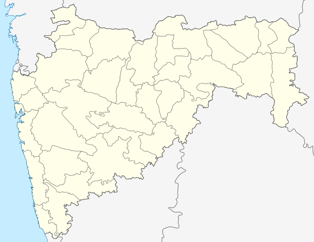 Sakhare  Sakhare Location in Maharashtra, India | |
| Coordinates: 19°49′00″N 73°10′08″E / 19.8167044°N 73.1688878°ECoordinates: 19°49′00″N 73°10′08″E / 19.8167044°N 73.1688878°E | |
| Country | India |
| State | Maharashtra |
| District | Palghar |
| Taluka | Dahanu |
| Elevation | 128 m (420 ft) |
| Population (2011) | |
| • Total | 3,354 |
| Time zone | IST (UTC+5:30) |
| ISO 3166 code | IN-MH |
| 2011 census code | 551734 |
Sakhare is a village in the Palghar district of Maharashtra, India. It is located in the Dahanu taluka.[1]
Demographics
According to the 2011 census of India, Sakhare has 578 households. The effective literacy rate (i.e. the literacy rate of population excluding children aged 6 and below) is 52.12%.[2]
| Total | Male | Female | |
|---|---|---|---|
| Population | 3354 | 1701 | 1653 |
| Children aged below 6 years | 520 | 289 | 231 |
| Scheduled caste | 2 | 2 | 0 |
| Scheduled tribe | 3170 | 1607 | 1563 |
| Literates | 1477 | 878 | 599 |
| Workers (all) | 1698 | 827 | 871 |
| Main workers (total) | 1489 | 721 | 768 |
| Main workers: Cultivators | 625 | 301 | 324 |
| Main workers: Agricultural labourers | 762 | 365 | 397 |
| Main workers: Household industry workers | 22 | 10 | 12 |
| Main workers: Other | 80 | 45 | 35 |
| Marginal workers (total) | 209 | 106 | 103 |
| Marginal workers: Cultivators | 144 | 69 | 75 |
| Marginal workers: Agricultural labourers | 42 | 24 | 18 |
| Marginal workers: Household industry workers | 5 | 2 | 3 |
| Marginal workers: Others | 18 | 11 | 7 |
| Non-workers | 1656 | 874 | 782 |
References
- ↑ "Maharashtra villages" (PDF). Land Records Information Systems Division, NIC. Retrieved 2015-08-17.
- 1 2 "District census data". 2011 Census of India. Directorate of Census Operations. Retrieved 2015-08-17.
This article is issued from Wikipedia - version of the 10/22/2016. The text is available under the Creative Commons Attribution/Share Alike but additional terms may apply for the media files.