Dolní Studénky
| Dolní Studénky | |||
|---|---|---|---|
| Municipality | |||
| |||
 Dolní Studénky | |||
| Coordinates: 49°56′3″N 16°58′31″E / 49.93417°N 16.97528°ECoordinates: 49°56′3″N 16°58′31″E / 49.93417°N 16.97528°E | |||
| Country |
| ||
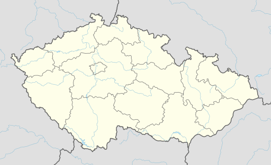
| Region | Olomouc | ||
| District | Šumperk | ||
| Area | |||
| • Total | 8.51 km2 (3.29 sq mi) | ||
| Elevation | 300 m (1,000 ft) | ||
| Population (2006) | |||
| • Total | 1,295 | ||
| • Density | 150/km2 (390/sq mi) | ||
| Postal code | 788 20 | ||
| Website | http://www.obecdolnistudenky.cz/ | ||

Dolní Studénky (German: Schönbrunn) (historic name: Studenka) is a village and municipality (obec) in Šumperk District in the Olomouc Region of the Czech Republic.
The municipality covers an area of 8.51 square kilometres (3.29 sq mi), and has a population of 1,295 (as at 28 August 2006).
Dolní Studénky lies approximately 4 kilometres (2 mi) south of Šumperk, 43 km (27 mi) north-west of Olomouc, and 184 km (114 mi) east of Prague. Village council also administers the settlement of Králec and former farm complex and settlement of Třemešek.
References
| Wikimedia Commons has media related to Dolní Studénky. |
This article is issued from Wikipedia - version of the 4/7/2016. The text is available under the Creative Commons Attribution/Share Alike but additional terms may apply for the media files.
