Gourlay Peninsula
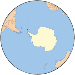
Gourlay Peninsula (60°44′S 45°36′W / 60.733°S 45.600°WCoordinates: 60°44′S 45°36′W / 60.733°S 45.600°W) is an ice-free peninsula, which is 0.1 nautical miles (0.2 km) wide at its base and widens to 0.4 nautical miles (0.7 km), forming the southeastern extremity of Signy Island in the South Orkney Islands. The seaward end of the peninsula divides into three arms, Pantomime Point, Pageant Point, and Gourlay Point. It was surveyed in 1933 by Discovery Investigations personnel, and resurveyed in 1947 by the Falkland Islands Dependencies Survey. It was named by the UK Antarctic Place-Names Committee after Gourlay Point.[1]
References
- ↑ "Gourlay Peninsula". Geographic Names Information System. United States Geological Survey. Retrieved 2012-05-02.
![]() This article incorporates public domain material from the United States Geological Survey document "Gourlay Peninsula" (content from the Geographic Names Information System).
This article incorporates public domain material from the United States Geological Survey document "Gourlay Peninsula" (content from the Geographic Names Information System).