Haut-Languedoc Regional Nature Park
Haut-Languedoc Regional Nature Park (French: Parc naturel régional du Haut-Languedoc) is a regional natural park in the south of the Massif Central within the Aveyron, Hérault, and Tarn departments of France. These areas are considered the Haut-Languedoc, compared to the Bas-Languedoc.
Administered by the Federation of French Regional Nature Parks (French: Fédération des Parcs Naturels Régionaux de France), it was created on 22 October 1973 and revised on 17 August 1999. It has an area of 2,605 km², with 82,000 people living within its boundaries.
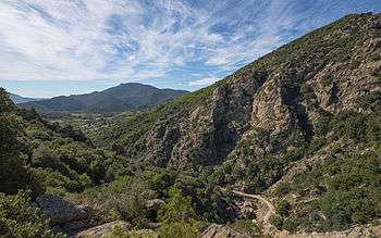
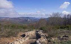
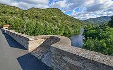
The park (coordinates 43.52898, 2.6984) comprises a very diverse range of countryside, which is why seven different areas have been officially defined within it:
- Caroux-Espinouse
- Montagne noire
- Monts de Lacaune
- Monts d'Orb
- Plateau des Lacs
- Sidobre
- Vignes et Vallées
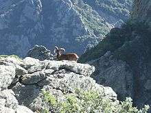
The park provides a habitat for more than 240 species of birds, in a stunningly diverse range of climate and scenery. It also provides a home for mouflons, successfully reintroduced from Corsica.
External links
| Wikimedia Commons has media related to Parc naturel régional du Haut-Languedoc. |
- Official website (French)
Coordinates: 43°34′15″N 2°39′20″E / 43.5708°N 2.65564°E
