Hecla, Arizona
| Hecla, Arizona | |
|---|---|
| Populated Place | |
  Hecla 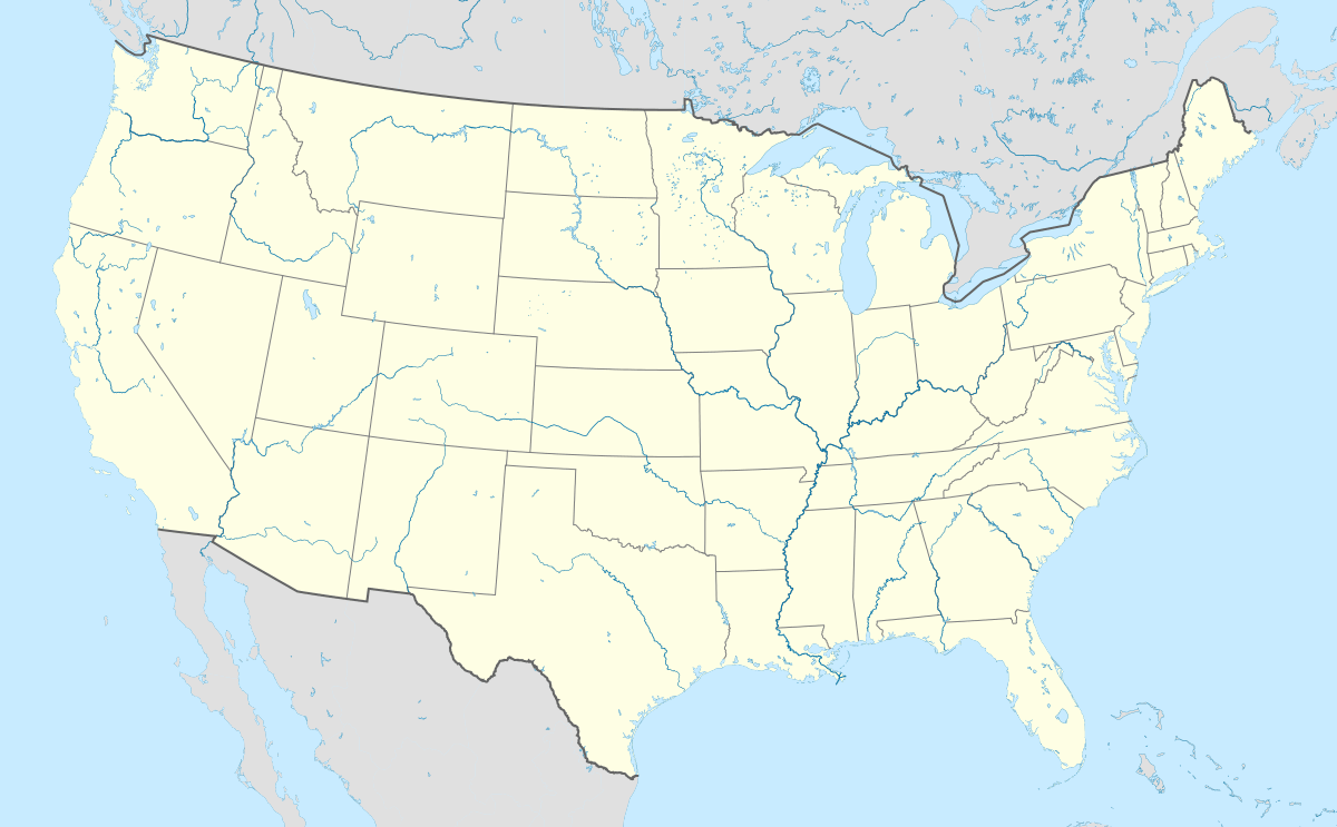 Hecla Location within the state of Arizona | |
| Coordinates: 34°32′17″N 112°07′18″W / 34.53806°N 112.12167°WCoordinates: 34°32′17″N 112°07′18″W / 34.53806°N 112.12167°W | |
| Country | United States |
| State | Arizona |
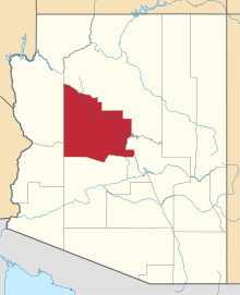
| County | Yavapai |
| Elevation[1] | 4,596 ft (1,401 m) |
| Time zone | Mountain (MST) (UTC-7) |
| • Summer (DST) | MST (UTC-7) |
| Area code(s) | 928 |
| FIPS code | 04-32335 |
| GNIS feature ID | 42742 |
Hecla is a populated place situated in Yavapai County, Arizona.[2] Its name is derived from the nearby Hecla mine.[3] It is also known as Stone Corral. It has an estimated elevation of 4,596 feet (1,401 m) above sea level.[1]
References
- 1 2 "Feature Detail Report for: Hecla". Geographic Names Information System. United States Geological Survey.
- ↑ "Hecla (in Yavapai County, AZ) Populated Place Profile". AZ Hometown Locator. Retrieved November 26, 2016.
- ↑ Barnes, Will Croft (2016). Arizona Place Names. Tucson: Arizona Place Names. p. 203. ISBN 0816534950.
This article is issued from Wikipedia - version of the 11/26/2016. The text is available under the Creative Commons Attribution/Share Alike but additional terms may apply for the media files.