Hugus

Coordinates: 50°15′07″N 5°07′11″W / 50.25203°N 5.11971°W
Hugus (Cornish: Ughgos)[1] is a hamlet in west Cornwall, England, United Kingdom. It is three miles (5 km) west of Truro.[2]
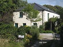
Hugus Chapel
References
- ↑ Place-names in the Standard Written Form (SWF) : List of place-names agreed by the MAGA Signage Panel. Cornish Language Partnership.
- ↑ Ordnance Survey: Landranger map sheet 204 Truro & Falmouth ISBN 978-0-319-23149-4
Cornwall Portal | |
| Unitary authorities | |
| Major settlements |
|
| Rivers | |
| Topics | |
This article is issued from Wikipedia - version of the 1/23/2016. The text is available under the Creative Commons Attribution/Share Alike but additional terms may apply for the media files.
