Lac-Frontière, Quebec
| Lac-Frontière | |
|---|---|
| Municipality | |
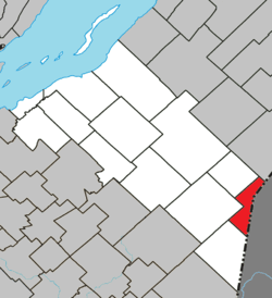 Location within La Matapédia RCM. | |
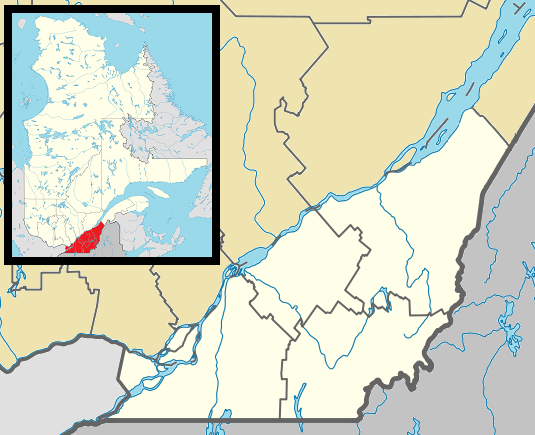 Lac-Frontière Location in province of Quebec. | |
| Coordinates: 46°42′N 70°00′W / 46.700°N 70.000°WCoordinates: 46°42′N 70°00′W / 46.700°N 70.000°W[1] | |
| Country |
|
| Province |
|
| Region | Chaudière-Appalaches |
| RCM | Montmagny |
| Constituted | February 7, 1916 |
| Government[2] | |
| • Mayor | Léon Laverdière |
| • Federal riding |
Montmagny—L'Islet— Kamouraska—Rivière- du-Loup |
| • Prov. riding | Côte-du-Sud |
| Area[2][3] | |
| • Total | 51.30 km2 (19.81 sq mi) |
| • Land | 50.47 km2 (19.49 sq mi) |
| Population (2011)[3] | |
| • Total | 198 |
| • Density | 3.9/km2 (10/sq mi) |
| • Pop 2006-2011 |
|
| • Dwellings | 169 |
| Time zone | EST (UTC−5) |
| • Summer (DST) | EDT (UTC−4) |
| Postal code(s) | G0R 1T0 |
| Area code(s) | 418 and 581 |
| Highways |
|
| Website |
www |
Lac-Frontière is a municipality in Montmagny Regional County Municipality within the Chaudière-Appalaches region of Quebec. It is located at the border (frontière in French) with the United States.
See also
- Northwest Black River, a stream
- Northwest Branch Saint John River, a stream
- Montmagny Regional County Municipality
- List of municipalities in Quebec
References
 |
Sainte-Lucie-de-Beauregard | Saint-Adalbert | | |
| Saint-Fabien-de-Panet | |
Northwest Aroostook, Maine | ||
| ||||
| | ||||
| Saint-Just-de-Bretenières |
| Cities & Towns | |
|---|---|
| Municipalities | |
| Parishes | |
| |
This article is issued from Wikipedia - version of the 8/2/2016. The text is available under the Creative Commons Attribution/Share Alike but additional terms may apply for the media files.
