Loja, Granada
| Loja | |||
|---|---|---|---|
| Municipality | |||
|
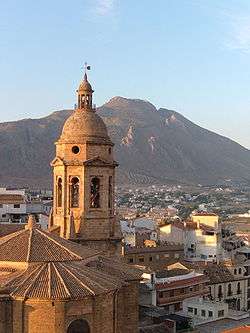
Bell Tower of the Church of the Incarnation. | |||
| |||
.png) Location of Loja in the Province of Granada. | |||
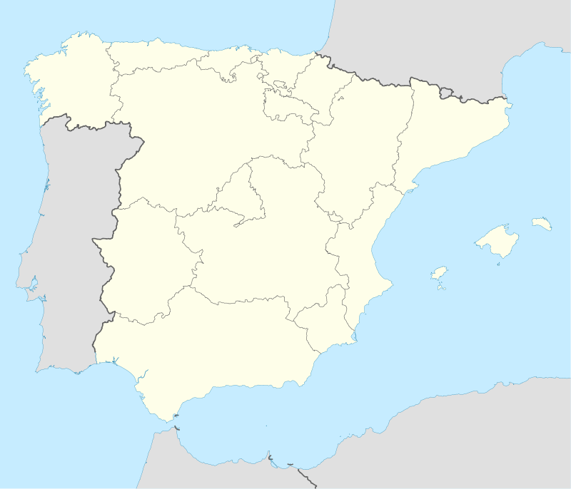  Loja Location in Spain | |||
| Coordinates: 37°10′N 04°9′W / 37.167°N 4.150°WCoordinates: 37°10′N 04°9′W / 37.167°N 4.150°W | |||
| Country |
 Spain Spain | ||
| Autonomous community |
 Andalusia Andalusia | ||
| Province | Granada | ||
| Comarca | Loja | ||
| Judicial district | Loja | ||
| Founded | 9th century BC | ||
| Government | |||
| • Mayor | Francisco Joaquín Camacho Borrego (2011) (PP) | ||
| Area | |||
| • Total | 454.7 km2 (175.6 sq mi) | ||
| Elevation | 448 m (1,470 ft) | ||
| Population (2008) | |||
| • Total | 22,137 | ||
| • Density | 49/km2 (130/sq mi) | ||
| Demonym(s) | Lojeños | ||
| Time zone | CET (UTC+1) | ||
| • Summer (DST) | CEST (UTC+2) | ||
| Postal code | 18300 | ||
| Website | Official website | ||
.svg.png)
.svg.png)
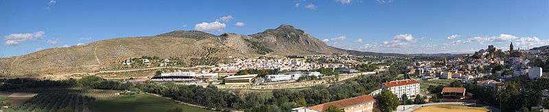
Loja (formerly Loxa)[1] is a town in southern Spain, situated at the western limit of the province of Granada. It is surrounded by the so-called Sierra de Loja, of which the highest peak, Sierra Gorda, stands 1,671 metres above sea-level.
Loja has sometimes been identified with the ancient Ilipula, or with the Lacibi (Lacibis) of Pliny and Ptolemy.[1] It is unknown when Loja was first captured by the Moors; most likely this happened in the 8th century. It first clearly emerges in the Arab chronicles of the year 890.[1] It was taken by Ferdinand III in 1226, but was soon afterwards abandoned.[1] Its Moorish name, Medina Lawsa, was changed to Loja when it was captured by the Christians in 1486, during the Reconquista. Isabella I of Castile called it the "flower among thorns".
Main sights
The town's Islamic heritage is still evident in the quarter of the Alcazaba, a Moorish fortress of which most of the walls and towers remain.
Other sights include:
- Convent of Santa Clara (16th century)
- Convento of St. Francis of Assisi, including a 16th-century cloister
- Church of the Incarnation (16th-17th centuries)
- Church of San Gabriel (16th century)
- Church of Santa Catalina (16th-17th century)
- Church of N.tra S.ra Virgen de la Caridad (16th century)
- Hermitages of Jesus Nazareno, san Roque, and Calvario, 16th century chapels and sanctuaries
- Caseron de los Alcaides Cristianos (17th century)
- Palacio de Narvaez (17th century)
- Fuente de la Mora ("Fountain of the Moorish maiden"), also known as los venticinco canos, a fountain where waters from different springs are made to flow from twenty-five tubes.
Notes

References
- Days in the Sun by Martin Andersen Nexo (1929)
.svg.png)