Madan Dam
| Madan Dam | |
|---|---|
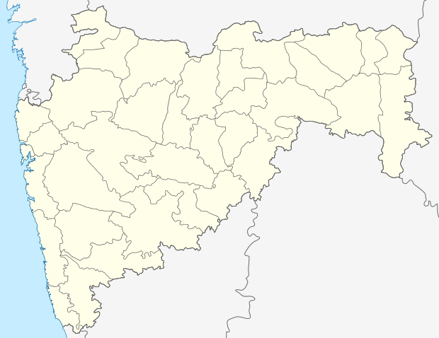 Location of Madan Dam in India Maharashtra | |
| Official name | Madan Dam D03099 |
| Location | Arvi |
| Coordinates | 20°56′15″N 78°32′05″E / 20.9376304°N 78.5348091°ECoordinates: 20°56′15″N 78°32′05″E / 20.9376304°N 78.5348091°E |
| Opening date | 2003[1] |
| Owner(s) | Government of Maharashtra, India |
| Dam and spillways | |
| Type of dam | Earthfill |
| Impounds | Waghadinalla river |
| Height | 26.55 m (87.1 ft) |
| Length | 1,291 m (4,236 ft) |
| Dam volume | 976.14 km3 (234.19 cu mi) |
| Reservoir | |
| Total capacity | 10,460 km3 (2,510 cu mi) |
| Surface area | 0 km2 (0 sq mi) |
Madan Dam, is an earthfill dam on Waghadinalla river near Arvi, Wardha district in the state of Maharashtra in India.
Specifications
The height of the dam above lowest foundation is 26.55 m (87.1 ft) while the length is 1,291 m (4,236 ft). The volume content is 976.14 km3 (234.19 cu mi) and gross storage capacity is 11,460.00 km3 (2,749.40 cu mi).[2]
Purpose
- Irrigation
See also
References
- ↑ "Madan D03099". Retrieved March 14, 2013.
- ↑ Specifications of large dams in India
This article is issued from Wikipedia - version of the 9/19/2015. The text is available under the Creative Commons Attribution/Share Alike but additional terms may apply for the media files.
