Płonina, Lower Silesian Voivodeship
For other places with the same name, see Płonina.
| Płonina | |
|---|---|
| Village | |
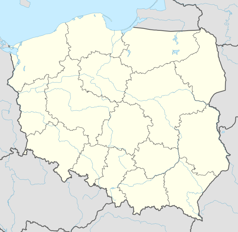 Płonina Location of Płonina, Lower Silesian Voivodeship | |
| Coordinates: 50°55′00″N 16°00′00″E / 50.91667°N 16.00000°ECoordinates: 50°55′00″N 16°00′00″E / 50.91667°N 16.00000°E | |
| Country |
|
| Voivodeship | Lower Silesian |
| Powiat | Jawor |
| Gmina | Bolków |
| Population | 157 |
Płonina [pwɔˈnina] (German: Nimmersath) is a village in the administrative district of Gmina Bolków, within Jawor County, Lower Silesian Voivodeship, in south-western Poland. Prior to 1945 it was in Germany.
It lies approximately 8 km (5 mi) west of Bolków, 20 km (12 mi) south-west of Jawor, and 77 km (48 mi) west of the regional capital Wrocław.
The village has a population of 157.
Buildings of interest
Niesytno Castle lies on a small hill near Płonina.
| Town and seat |  | |
|---|---|---|
| Villages | ||
This article is issued from Wikipedia - version of the 5/19/2016. The text is available under the Creative Commons Attribution/Share Alike but additional terms may apply for the media files.