Pakhapani, Parbat
| Pakhapani पाखापानी | |
|---|---|
| Village Development Committee | |
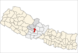
 Pakhapani Location in Nepal | |
| Coordinates: 28°06′N 83°42′E / 28.10°N 83.70°ECoordinates: 28°06′N 83°42′E / 28.10°N 83.70°E | |
| Country |
|
| Zone | Dhawalagiri Zone |
| District | Parbat District |
| Population (1991) | |
| • Total | 2,969 |
| Time zone | Nepal Time (UTC+5:45) |
Pakhapani is a Village Development Committee in Parbat District in the Dhawalagiri Zone of central Nepal. At the time of the 1991 Nepal census it had a population of 2969 people residing in 556 individual households. This village has 3 high schools located at namely pakhapani, simley and lamtun. Has 9 ward and has health post centre in each ward. Majority of the people have gone abroad for job and remitance from them represents the economy. There are also numerous number of people workin in British army and Indian army. Now this village has roads connecting all localities. Major village inside it are Bhandari Thar( a big chhetri bhandari village), Simle ( a thakuri village) and Lamtun ( a gurung village) and many smaller villages. [1]
References
- ↑ "Nepal Census 2001", Nepal's Village Development Committees, Digital Himalaya, retrieved 16 December 2016.