Papiya Nunatak
Papiya Nunatak (Bulgarian: нунатак Папия, ‘Nunatak Papiya’ \'nu-na-tak pa-'pi-ya\) is the rocky hill rising to 550 m in the south foothills of Detroit Plateau on Nordenskjöld Coast in Graham Land, Antarctica, north of the terminus of Drygalski Glacier. It is surmounting Kladorub Glacier to the northeast and Vrachesh Glacier to the southwest.
The nunatak is named after Papiya Peak on the Bulgarian Black Sea coast.
Location
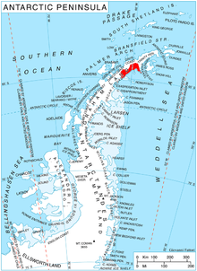
Papiya Nunatak is located at 64°40′23″S 60°40′31″W / 64.67306°S 60.67528°WCoordinates: 64°40′23″S 60°40′31″W / 64.67306°S 60.67528°W, which is 6.44 km southeast of the summit of Ruth Ridge, 6.2 km south-southwest of Cruyt Spur, 14.6 km west by south of Cape Worsley, 11.7 km north by east of Sentinel Nunatak and 8 km east-northeast of Bekker Nunataks. British mapping in 1978.
Map
- British Antarctic Territory. Scale 1:200000 topographic map. DOS 610 Series, Sheet W 64 60. Directorate of Overseas Surveys, UK, 1978.
References
- Papiya Nunatak. SCAR Composite Antarctic Gazetteer.
This article includes information from the Antarctic Place-names Commission of Bulgaria which is used with permission.