Piz Nair (Sesvenna Alps)
| Piz Nair | |
|---|---|
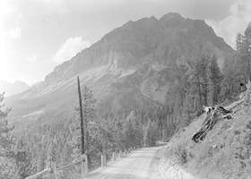 View from the south side | |
| Highest point | |
| Elevation | 3,010 m (9,880 ft) |
| Prominence | 238 m (781 ft) [1] |
| Parent peak | Piz Tavrü |
| Coordinates | 46°40′4.6″N 10°16′21.2″E / 46.667944°N 10.272556°ECoordinates: 46°40′4.6″N 10°16′21.2″E / 46.667944°N 10.272556°E |
| Geography | |
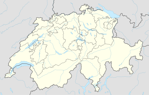 Piz Nair Location in Switzerland | |
| Location | Graubünden, Switzerland |
| Parent range | Sesvenna Alps |
Piz Nair is a mountain in the Sesvenna Alps, located north of the Fuorn Pass in the canton of Graubünden.
The mountain is part of the Swiss National Park.
References
External links
![]() Media related to Piz Nair (Sesvenna group) at Wikimedia Commons
Media related to Piz Nair (Sesvenna group) at Wikimedia Commons
This article is issued from Wikipedia - version of the 1/3/2016. The text is available under the Creative Commons Attribution/Share Alike but additional terms may apply for the media files.
