Podłęże Królewskie
| Podłęże Królewskie | |
|---|---|
| Village | |
 Podłęże Królewskie | |
| Coordinates: 50°55′N 18°39′E / 50.917°N 18.650°E | |
| Country |
|
| Voivodeship | Silesian |
| County | Kłobuck |
| Gmina | Krzepice |
| Population | 169 |
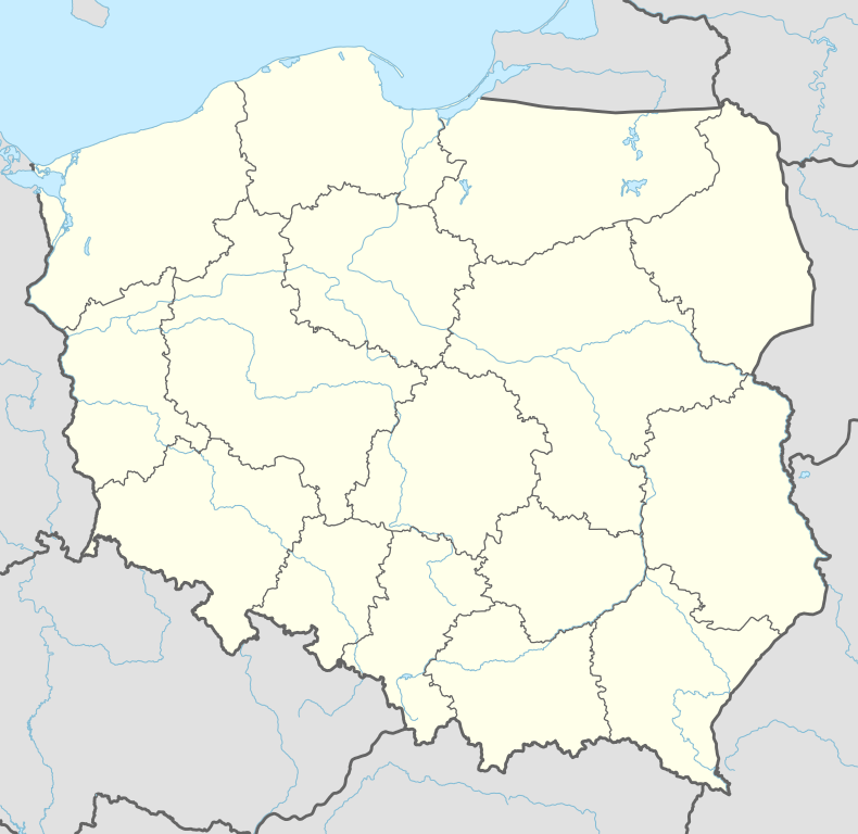
Podłęże Królewskie [pɔdˈwɛ̃ʐɛ kruˈlɛfskʲɛ] is a village in the administrative district of Gmina Krzepice, within Kłobuck County, Silesian Voivodeship, in southern Poland.[1] It lies approximately 9 kilometres (6 mi) south-west of Krzepice, 20 km (12 mi) west of Kłobuck, and 78 km (48 mi) north of the regional capital Katowice.
The village has a population of 169.
References
| Town and seat |  | |
|---|---|---|
| Villages | ||
Coordinates: 50°55′N 18°39′E / 50.917°N 18.650°E
This article is issued from Wikipedia - version of the 9/17/2013. The text is available under the Creative Commons Attribution/Share Alike but additional terms may apply for the media files.