Rima, Qatana
| Rima ريمه | |
|---|---|
| Village | |
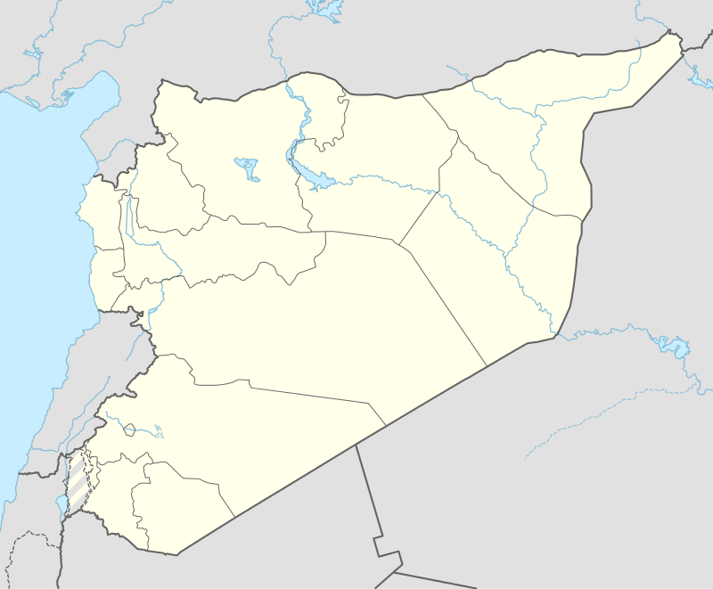  Rima Location in Syria | |
| Coordinates: 33°25′5″N 35°54′1″E / 33.41806°N 35.90028°ECoordinates: 33°25′5″N 35°54′1″E / 33.41806°N 35.90028°E | |
| Country |
 Syria Syria |
| Governorate | Rif Dimashq Governorate |
| District | Qatana District |
| Nahiyah | Qatana |
| Population (2004 census)[1] | |
| • Total | 1,132 |
| Time zone | EET (UTC+2) |
| • Summer (DST) | EEST (UTC+3) |
Rima (Arabic: ريمه) is a Syrian village in the Qatana District of the Rif Dimashq Governorate. According to the Syria Central Bureau of Statistics (CBS), Rima had a population of 1,132 in the 2004 census.[1] Its inhabitants are predominantly Druze.[2]
References
- 1 2 General Census of Population and Housing 2004. Syria Central Bureau of Statistics (CBS). Rif Dimashq Governorate. (Arabic)
- ↑ "Druze communities in the Middle East". British Druze Society. Archived from the original on September 11, 2011.


This article is issued from Wikipedia - version of the 4/1/2016. The text is available under the Creative Commons Attribution/Share Alike but additional terms may apply for the media files.