Republic of Upper Volta
The Republic of Upper Volta (French: République de Haute-Volta) was a landlocked west-African country established on December 11, 1958, as a self-governing colony within the French Community. Before attaining autonomy it had been French Upper Volta and part of the French Union. On August 5, 1960, it attained full independence from France.
Overview
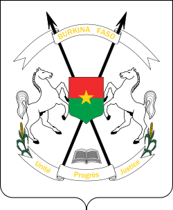
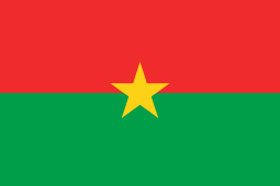
Thomas Sankara came to power through a military coup d'état on August 4, 1983. After the coup, he formed the National Council for the Revolution (CNR), with himself as president. Under the direction of Sankara, the country changed its name on August 4, 1984, from the Upper Volta to Burkina Faso, which means "Land of Incorruptible People".[1]
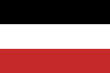
The name Upper Volta indicated that the country contains the upper part of the Volta River. The river is divided into three parts—the Black Volta, White Volta, and Red Volta, which form the colors of the national flag corresponding to parts of the river.
See also
- History of Burkina Faso
- List of governors of Upper Volta
- List of heads of state of Burkina Faso
- List of heads of government of Burkina Faso
References
- ↑ "More (Language of the Mossi Tribe) Phrase Book". World Digital Library. Retrieved 16 February 2013.
Coordinates: 12°16′N 2°4′W / 12.267°N 2.067°W


