Vanderpool, Virginia
| Vanderpool, Virginia | |
|---|---|
| Unincorporated community | |
|
Aerial view of Vanderpool, Virginia | |
  Vanderpool, Virginia 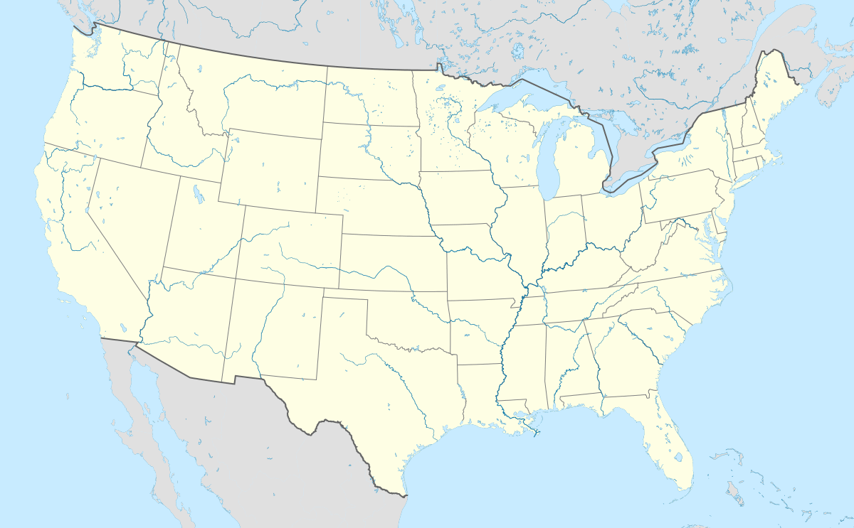 Vanderpool, Virginia | |
| Coordinates: 38°22′10″N 79°37′31″W / 38.36944°N 79.62528°WCoordinates: 38°22′10″N 79°37′31″W / 38.36944°N 79.62528°W | |
| Country | United States |
| State | Virginia |
| County | Highland |
| Elevation | 2,608 ft (795 m) |
| Time zone | Eastern (EST) (UTC-5) |
| • Summer (DST) | EDT (UTC-4) |
| ZIP code | 24465 |
| Area code(s) | 540 |
| GNIS feature ID | 1497187[1] |
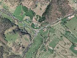
Vanderpool (also Galltown, Gaul Town, or Woodsborough) is an unincorporated community in Highland County, Virginia, United States. Vanderpool is located 3.8 miles (6.1 km) south-southwest of Monterey, Virginia at the junction of Virginia State Route 84 and U.S. Route 220.[2] The community is situated near Vanderpool Gap, through which the Jackson River flows.[3] Before the creation of Highland County in 1847, Vanderpool was proposed to be the new county's seat, though it was defeated in favor of Monterey.[4] Vanderpool was named after the Dutch explorer John Vanderpool, who was the first man to pass through the area on horseback and discovered the Vanderpool Gap.[5][6]
References
- ↑ "Vanderpool". Geographic Names Information System. United States Geological Survey.
- ↑ Google (15 December 2012). "Vanderpool, Virginia" (Map). Google Maps. Google. Retrieved 15 December 2012.
- ↑ "The National Map". United States Geological Survey. Retrieved February 7, 2014.
- ↑ Morton, Oren Frederic (1911). A History of Highland County, Virginia. pp. 114–115.
- ↑ Hanson, Raus McDill (1969). Virginia Place Names: Derivations, Historical Uses. McClure Press. p. 110.
- ↑ Scott, Chris (2008). Highland County. Arcadia Publishing. p. 10.
Municipalities and communities of Highland County, Virginia, United States | ||
|---|---|---|
| Town | 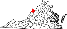 | |
| Unincorporated communities | ||
| Footnotes | ‡This populated place also has portions in an adjacent county or counties | |
This article is issued from Wikipedia - version of the 11/10/2016. The text is available under the Creative Commons Attribution/Share Alike but additional terms may apply for the media files.