Weldons, California
Not to be confused with Weldon, California or Waldon, California.
| Weldons, California | |
|---|---|
| Unincorporated community | |
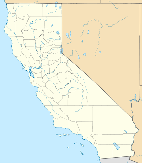  Weldons, California | |
| Coordinates: 34°20′42″N 119°17′49″W / 34.34500°N 119.29694°WCoordinates: 34°20′42″N 119°17′49″W / 34.34500°N 119.29694°W | |
| Country | United States |
| State | California |
| County | Ventura |
| Elevation | 203 ft (62 m) |
| Time zone | Pacific (PST) (UTC-8) |
| • Summer (DST) | PDT (UTC-7) |
| Area code(s) | 805 |
| GNIS feature ID | 1661661[1] |
Weldons is an archaic Populated Place name in an unincorporated community of Ventura County, California, United States near the mouth of Weldon Canyon.[2] The Weldon family were landowners for a portion of the Rancho Cañada Larga (originally called Rancho Cañada Larga o Verde) at this site.[3] Weldons is located along California State Route 33 6.2 miles (10.0 km) northwest of Ventura.
References
- ↑ "Weldons". Geographic Names Information System. United States Geological Survey.
- ↑ "Weldon Canyon". Geographic Names Information System. United States Geological Survey.
- ↑ Santa Barbara Research Associates (14 May 2002) "Ventura Avenue Water Treatment Plant Historic Resources Report" Section 4: Historical Setting. Page 5. Prepared for City of Ventura, owner of plant.
Municipalities and communities of Ventura County, California, United States | ||
|---|---|---|
| Cities |  | |
| CDPs | ||
| Unincorporated communities | ||
| Footnotes | ‡This populated place also has portions in an adjacent county or counties | |
This article is issued from Wikipedia - version of the 8/24/2014. The text is available under the Creative Commons Attribution/Share Alike but additional terms may apply for the media files.