West Virginia Route 230
| ||||
|---|---|---|---|---|
| Route information | ||||
| Maintained by WVDOH | ||||
| Length: | 9.2 mi[1] (14.8 km) | |||
| Major junctions | ||||
| South end: |
| |||
| North end: |
| |||
| Location | ||||
| Counties: | Jefferson | |||
| Highway system | ||||
| ||||

West Virginia Route 230 is a north–south state highway located entirely within Jefferson County in the U.S. state of West Virginia. The southern terminus of the route is at U.S. Route 340 west of Bolivar. The northern terminus of the route is at West Virginia Route 45 and West Virginia Route 480 in Shepherdstown.
South of CR 17, WV 230 was formerly part of County Route 23.
Major intersections
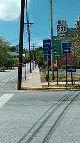
West Virginia State Route 230 enters Shepherdstown as South Princess Street.
The entire route is in Jefferson County.
| Location | mi | km | Destinations | Notes | |
|---|---|---|---|---|---|
| | |||||
| | |||||
| Shepherdstown | |||||
| 1.000 mi = 1.609 km; 1.000 km = 0.621 mi | |||||
References
- ↑ Distance calculated using Microsoft MapPoint mapping software.
This article is issued from Wikipedia - version of the 5/11/2015. The text is available under the Creative Commons Attribution/Share Alike but additional terms may apply for the media files.
