Westbury, Quebec
| Westbury | |
|---|---|
| Township municipality | |
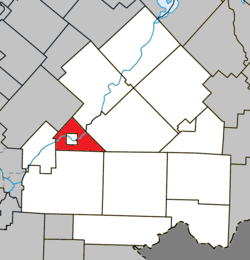 Location within Le Haut-Saint-François RCM. | |
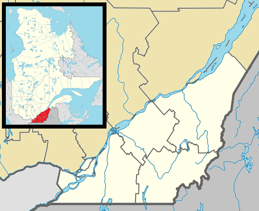 Westbury Location in southern Quebec. | |
| Coordinates: 45°30′N 71°40′W / 45.500°N 71.667°WCoordinates: 45°30′N 71°40′W / 45.500°N 71.667°W[1] | |
| Country |
|
| Province |
|
| Region | Estrie |
| RCM | Le Haut-Saint-François |
| Constituted | August 16, 1858 |
| Government[2] | |
| • Mayor | Kenneth Coates |
| • Federal riding | Compton—Stanstead |
| • Prov. riding | Mégantic |
| Area[2][3] | |
| • Total | 57.30 km2 (22.12 sq mi) |
| • Land | 54.96 km2 (21.22 sq mi) |
| Population (2011)[3] | |
| • Total | 997 |
| • Density | 18.1/km2 (47/sq mi) |
| • Pop 2006-2011 |
|
| Time zone | EST (UTC−5) |
| • Summer (DST) | EDT (UTC−4) |
| Postal code(s) | J0B 1R0 |
| Area code(s) | 819 |
| Highways |
|
| Website |
www |
Westbury is a township municipality in Le Haut-Saint-François Regional County Municipality, in Quebec, Canada. It surrounds the city of East Angus.
The township had a population of 997 in the Canada 2011 Census.
References
 |
Stoke | Dudswell | | |
| Ascot Corner | |
Bury | ||
| ||||
| | ||||
| Cookshire-Eaton | Newport |
| Cities & Towns | |
|---|---|
| Municipalities | |
| Townships | |
| |
This article is issued from Wikipedia - version of the 4/7/2013. The text is available under the Creative Commons Attribution/Share Alike but additional terms may apply for the media files.