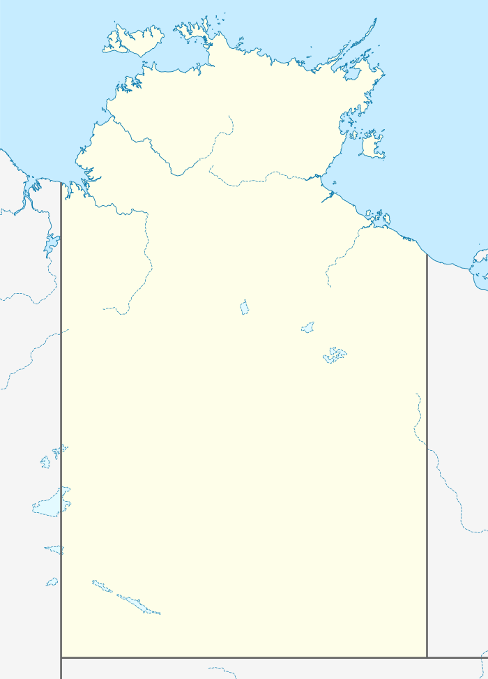
Wongalara Sanctuary

Wongalara Sanctuary is a nature reserve in the Top End of the Northern Territory of Australia.
Location
It is a pastoral lease on the southern border of Arnhem Land, and is 120 kilometres (75 mi) south-east of Kakadu National Park. The sanctuary shares a boundary with Mainoru Station and vacant crown land to the north, Mountain Valley Station to the west, Lonesome Dove and Big River Stations to the south and Urapunga Aboriginal land trust to the south and vacant crown land to the east.[1]
Description
The sanctuary occupies an area of 1,910 square kilometres (737 sq mi),[2] it is owned and managed by the Australian Wildlife Conservancy (AWC), which acquired it in 2007 following a public fundraising campaign and assistance from the Australian Government in the form of a grant of A$2.1 million from its National Reserve System Program.[3] The Mainoru River, Jalbot River and Wilton River all flow through the area. The nearest major road to the sanctuary is the Central Arnhem Road which cuts through neighbouring properties to the north and east.[1]
Landscape
The landscape of Wongalara includes spinifex-covered ranges, sandstone plateaus and escarpments, eucalypt forests and woodlands, patches of monsoon rainforest and wetlands. The Wilton River flows through the reserve.[3] The dominant vegetation is low open savannah woodland.[2]
Wildlife
Threatened or significant animal species recorded from Wongalara include the masked owl,[4] Gouldian finch, crested shrike-tit, hooded parrot, red goshawk, northern quoll, kakadu dunnart and freshwater crocodile.[3] Scientists come to the sanctuary during the dry season to trap and study mammals and conduct other research projects.[5] By 2013 a 1,000 square kilometres (386 sq mi) section of the property has been fenced to protect wildlife from feral pests. Feral cattle, buffalo, horses and pigs have all been excluded from the property. These animals all compete with natives for food and destroy the landscape and thin the vegetation. The cost of the 160 kilometres (99 mi) fence is A$500,000 with plans to fence the entire property creating the largest feral herbivore-free area in Australia.[6][7]
See also
References
- 1 2 "Northern Territory Pastoral Properties" (PDF). Northern Territory Government. 2003. Retrieved 17 April 2015.
- 1 2 "Rattus villosissimus release and trapping data for J Appl Ecol". University of Adelaide. 4 July 2014. Retrieved 18 April 2015.
- 1 2 3 "Wildlife Sactuaries Wongalara". Australian Wildlife Conservancy. Retrieved 17 April 2015.
- ↑ "Australia's timeless North" (PDF). Australian Government. Retrieved 19 April 2015.
- ↑ Alice Plate (6 November 2008). "Environmentalists manage Wongalara Station". Australian Broadcasting Corporation. Retrieved 17 April 2015.
- ↑ Nicky Philips (29 September 2012). "Don't fence me in: ferals shut out to give native wildlife a go". Sydney Morning Herald. Retrieved 18 April 2012.
- ↑ "Managing Australia's largest feral herbivore-free area (the Top End)". Good Company. Retrieved 18 April 2015.
External links
Coordinates: 14°06′40″S 134°28′37″E / 14.111°S 134.477°E
