Yibal Airport
| Yibal Airport | |||||||||||
|---|---|---|---|---|---|---|---|---|---|---|---|
| IATA: none – ICAO: OOYB | |||||||||||
| Summary | |||||||||||
| Airport type | Public | ||||||||||
| Serves | Yibal | ||||||||||
| Elevation AMSL | 355 ft / 108 m | ||||||||||
| Coordinates | 22°12′00″N 56°02′00″E / 22.20000°N 56.03333°ECoordinates: 22°12′00″N 56°02′00″E / 22.20000°N 56.03333°E | ||||||||||
| Map | |||||||||||
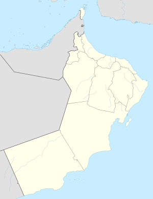 OOYB Location of the airport in Oman | |||||||||||
| Runways | |||||||||||
| |||||||||||
|
Source: Google Maps[1] | |||||||||||
Yibal Airport (ICAO: OOYB) is an airport serving the town of Yibal in the Ad Dhahirah Governorate of Oman.
Runway ends are poorly defined, and actual usable length may be longer than listed.
See also
 Oman portal
 Aviation portal
- List of airports in Oman
- Transport in Oman
References
- Google Earth
External links
This article is issued from Wikipedia - version of the 12/5/2016. The text is available under the Creative Commons Attribution/Share Alike but additional terms may apply for the media files.
