Fursan, Syria
| Fursan الفرسان | |
|---|---|
| Village | |
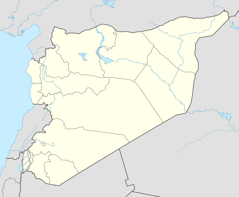 Fursan Location of Fursan in Syria | |
| Coordinates: 36°43′36″N 37°42′22″E / 36.7267°N 37.7061°ECoordinates: 36°43′36″N 37°42′22″E / 36.7267°N 37.7061°E | |
| Country |
|
| Governorate | Aleppo |
| District | Jarabulus |
| Subdistrict | Ghandoura |
| Population (2004)[1] | 565 |
| Time zone | EET (UTC+2) |
| • Summer (DST) | EEST (UTC+3) |
| Geocode | C2252 |
Fursan (Arabic: الفرسان) is a village in northern Aleppo Governorate, northwestern Syria. Administratively belonging to Nahiya Ghandoura in Jarabulus District, the village has a population of 565 as per the 2004 census.[1] It is located midway between al-Rai and Jarabulus, at the eastern banks of Sajur Lake. Nearby localities include Arab Azzah to the north and Lilawa to the southeast.
References
- 1 2 "2004 Census Data for Nahiya Ghandoura" (in Arabic). Syrian Central Bureau of Statistics. Retrieved 15 October 2015. Also available in English: UN OCHA. "2004 Census Data". Humanitarian Data Exchange. Retrieved 4 December 2015.
Capital: Aleppo | ||||||||
|  | |||||||
|
| ||||||||
| ||||||||
| ||||||||
| ||||||||
| ||||||||
This article is issued from Wikipedia - version of the 9/4/2016. The text is available under the Creative Commons Attribution/Share Alike but additional terms may apply for the media files.